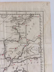
Carte de l'Ocean Occidental
Map of the Northern Atlantic Ocean by Jacques-Nicolas Bellin
Type of object:
Maps and globes
Time period:
Britain rules the waves + France
Place:
Paris
Date:
1746
Maker / Author:
Jacques-Nicolas Bellin
Publisher / Printer:
idem
Dimensions:
Material:
Copperprint on paper uncolored
Graduation:
Inscription:
Provenance:
References:

Description
Bellin's magnificent chart of the northern Atlantic ("Western") Ocean, with a dramatic compass rose at its center and superbly decorative title cartouche, from Prevost d'Exiles' influential collection of travel narratives, Histoire Generale des Voyages. The map encompasses eastern North America, all of the West Indies, and northern South America, and on the other side of the ocean, the southern British Isles, western Europe and the bulge of western Africa.
Jacques-Nicolas Bellin(1703-1772) was a French cartographer, hydrographer and geographer. Born in Paris, Bellin was a member of the French intellectual group, the philosophes, a member of the Academie de Marine and of the Royal Society of London. His career spanned over five decades in which he produced a large number of maps for the Dépot des Cartes et Plans de la Marine.
Additional information


